


From Uber’s real-time ride tracking to Google’s advanced location analytics, mapping technology has become the silent infrastructure behind almost every digital experience. But what powers these ultra-fast, hyper-precise maps?
Meet H3, the geospatial indexing system changing how modern apps handle massive location data at scale.
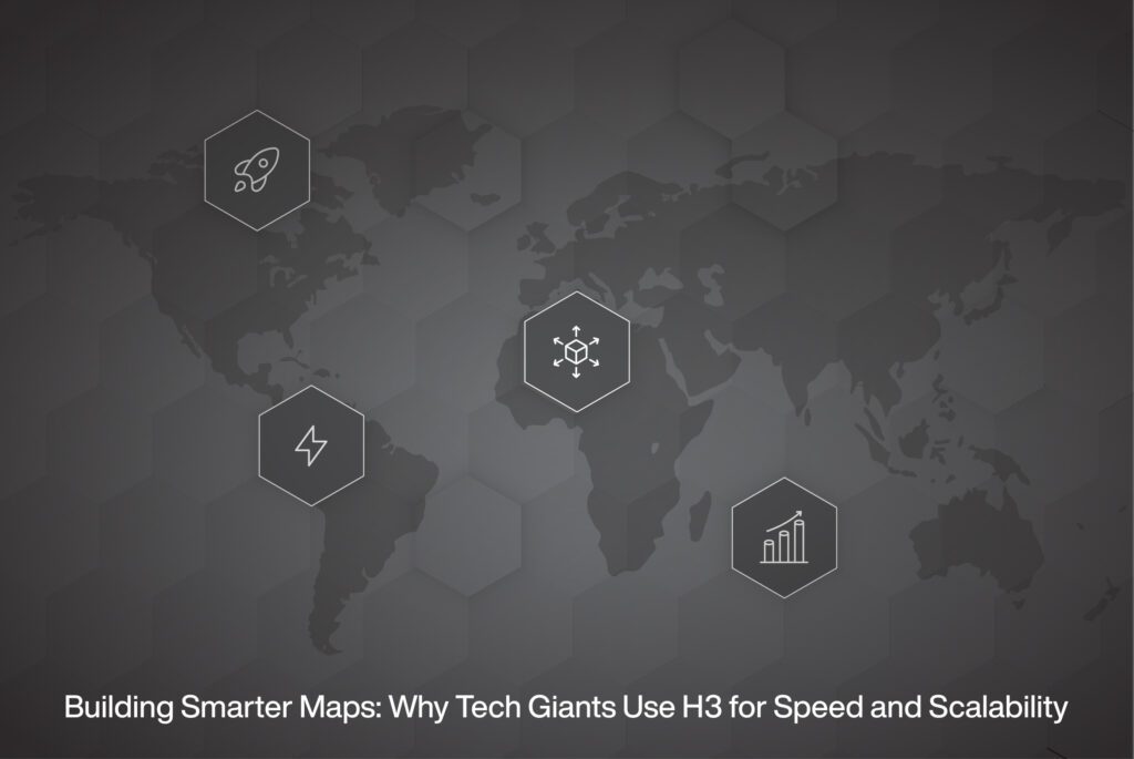
Developed by Uber and now used globally, H3 isn’t just another mapping tool. It’s an elegant, scalable solution that allows developers to turn chaotic coordinates into meaningful, performant insights.
At HK Infosoft, we’ve seen firsthand how integrating H3 can revolutionise logistics, delivery, and real-time analytics. Let’s unpack why the world’s biggest tech companies are betting big on this hexagonal hero.
In simple terms, H3 (Hexagonal Hierarchical Spatial Index) is a grid system that divides the Earth’s surface into hexagons. Unlike traditional latitude-longitude coordinates, which can be messy to work with, H3 creates a consistent global grid that makes spatial operations lightning-fast.
🔹 Why Hexagons?
“Think of H3 as the Google Maps of data; not for humans to navigate, but for machines to understand geography.”
H3 turns lat-long coordinates into index codes, which represent a hexagonal cell. Each cell is part of a hierarchy, smaller hexes inside larger ones, allowing for both macro and micro-level insights.
For instance:
By assigning every location a unique H3 index, developers can easily group, query, and analyse data without complex geometry math.
🔹 Example Use Case:
A logistics company can map thousands of delivery points into H3 cells, then group deliveries by area, instantly optimising driver routes and delivery density.
H3 is quietly running in the background of some of the most demanding applications in the world. Here’s why:
1. Speed at Scale
Traditional GIS queries can choke on millions of coordinates. H3 reduces this complexity by indexing data into neat hexagons, making spatial joins, clustering, and lookups blazingly fast.
2. Precision Without Complexity
Because of its hierarchical structure, you can zoom in or out seamlessly, from continent-level trends to street-level insights, using the same dataset.
3. Smarter Analytics
H3 simplifies proximity analysis, geofencing, and heatmaps. Companies like Uber and Strava use it to analyse movement patterns, detect demand hotspots, and manage fleets.
4. Cross-Industry Compatibility
It’s not just for ridesharing. H3 powers:
“If your app touches location, H3 makes it smarter.”
We integrate H3 into logistics, analytics, and smart mobility platforms to make data-driven decisions faster and more efficiently.
Real-World Implementations:
Why It Matters:
H3 lets our clients:
From autonomous vehicles to delivery drones, tomorrow’s apps will depend on geospatial intelligence. Systems like H3 make this future possible by turning raw data into real-time insights.
As mapping evolves beyond navigation into prediction, automation, and precision, H3 stands out as the foundation for global-scale intelligence.
The world runs on coordinates. H3 helps it make sense of them.